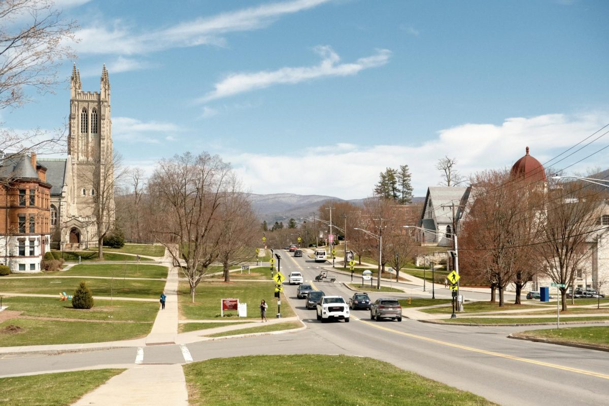
The College has begun a six-month transportation study to consider potential changes to campus parking facilities, roads, and infrastructure. The study will assess transportation practices and the College’s use of land, according to a notice released on Feb. 14 by the Office of Planning, Design, and Construction.
Associate Vice President for Campus Planning and Operations Mina Amundsen said the study seeks to advance the goals outlined in the College’s 2023 Campus Plan, including increased bike and pedestrian accessibility.
Amundsen said that findings from the study would be available later this spring.
Any recommendations will be made in coordination with other ongoing planning studies and infrastructure projects, she added. These include the Athletics and Wellbeing Program Study, the Residential Housing Renewal Study, Dining Equipment and Spaces Study, Lawrence Hall Programming Study, and the Energy and Carbon Master Plan.
Vanasse Hangen Brustlin (VHB), a transportation planning firm, was hired to conduct the study, which will conclude in June. The Office of Planning, Design, and Construction is overseeing the project with input from Campus Safety Services (CSS), the Zilkha Center for the Environment, and other campus offices.
“The resulting plan will offer a forward-looking strategy for transportation on the campus and a framework for mobility integrated with our sustainability and universal access goals, including parking, pedestrian and bicycle networks, and accessibility,” Amundsen wrote in an email to the Record.
Planning for the study began in fall 2024. Consultants from VHB met with CSS and several Town residents to discuss initial priorities for the study, according to Amundsen. “These were early meetings to be introduced to key people who would be involved in the study,” Amundsen wrote. “We have not yet started outreach to other stakeholders, including students, and anticipate that will occur over the spring semester.”
One part of the study involves an assessment of traffic conditions and safety around campus, which will be used to make recommendations to improve safety and accessibility. Between Feb. 16 and Feb. 18, video cameras were installed to monitor vehicle movements at intersections on Route 2, North Street, Park Street, and Lynde Lane, to monitor vehicle movement at those locations.
According to the notice, these intersections were identified by CSS and Town residents as potential safety concerns. The cameras will record the volume of vehicles passing through each intersection and which direction they come from in a given window of time. Footage will be processed automatically and only reviewed by a human if data seems irregular.
“The vehicle volumes will allow VHB to evaluate the existing traffic and safety conditions at these intersections, and to understand the potential impacts of future changes to parking, roadways, and/or campus land uses,” the notice states.
In addition to traffic conditions, Amundsen explained, VHB will also look into parking, bike routes, and accessibility issues on campus. She emphasized that no major changes to campus infrastructure are in the works, and that she doesn’t anticipate serious disruptions on campus life as a result of the study.
“Recommendations for enhancements and implementation will be coordinated with those from the programming studies on athletics and wellbeing, residence halls renewal, and electrical infrastructure upgrades,” Amundsen wrote. “We will also carefully consider the character of the campus and the community in the study and recommendations.”